Live Radar
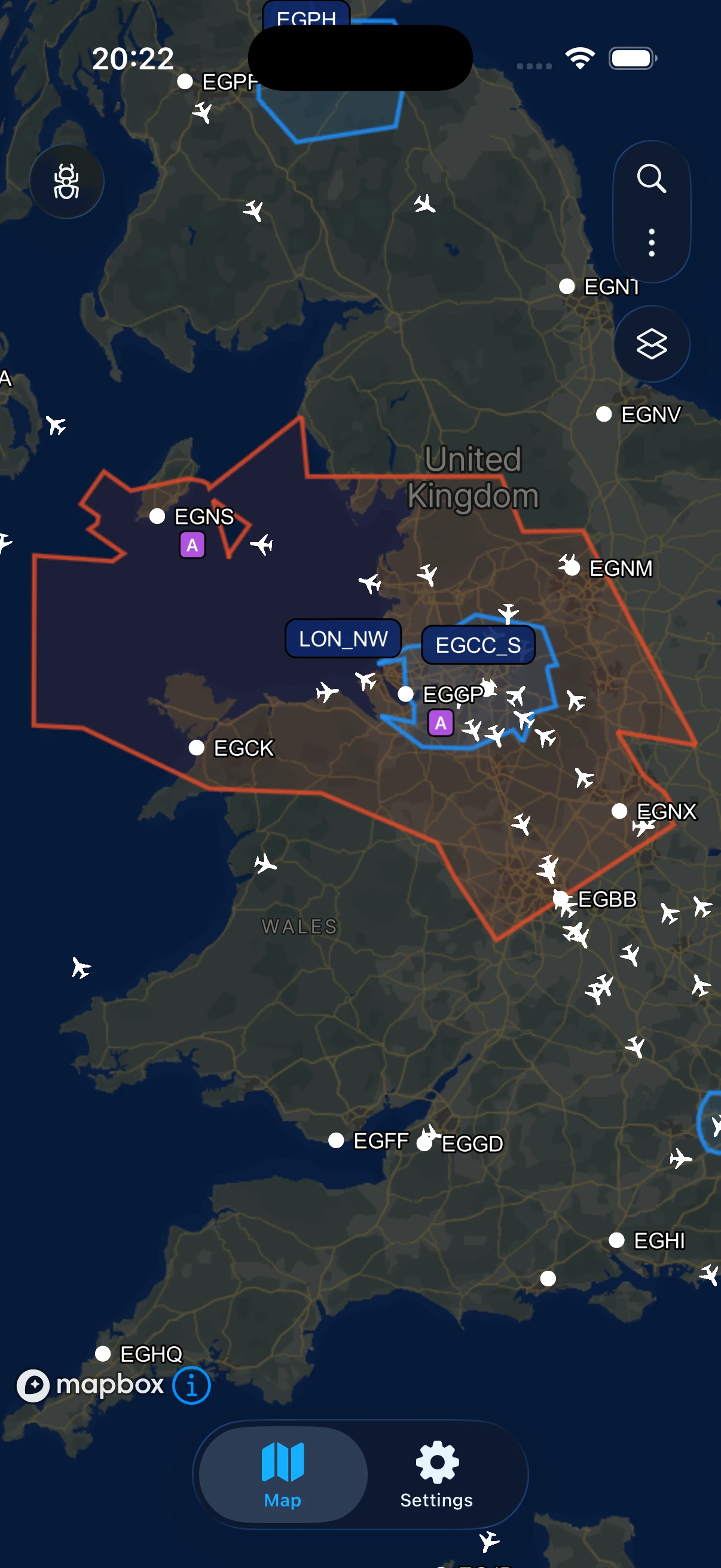
Every pilot and controller on the VATSIM network, updated in real time on a smooth, interactive map.
VatSight is a free, open-source VATSIM tracker and radar map for iPhone — live traffic, VATGlasses ATC sectors, and airport activity, all on one clean map.
The VATSIM app for iOS, built for controllers, pilots, and spotters who live on the network.
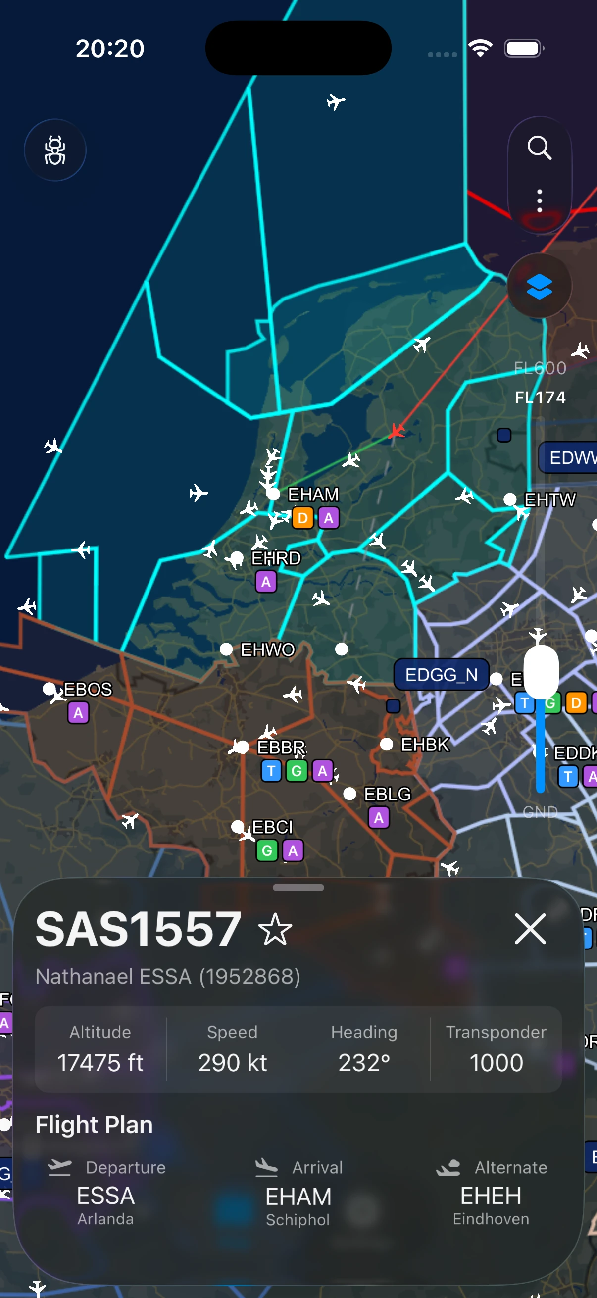
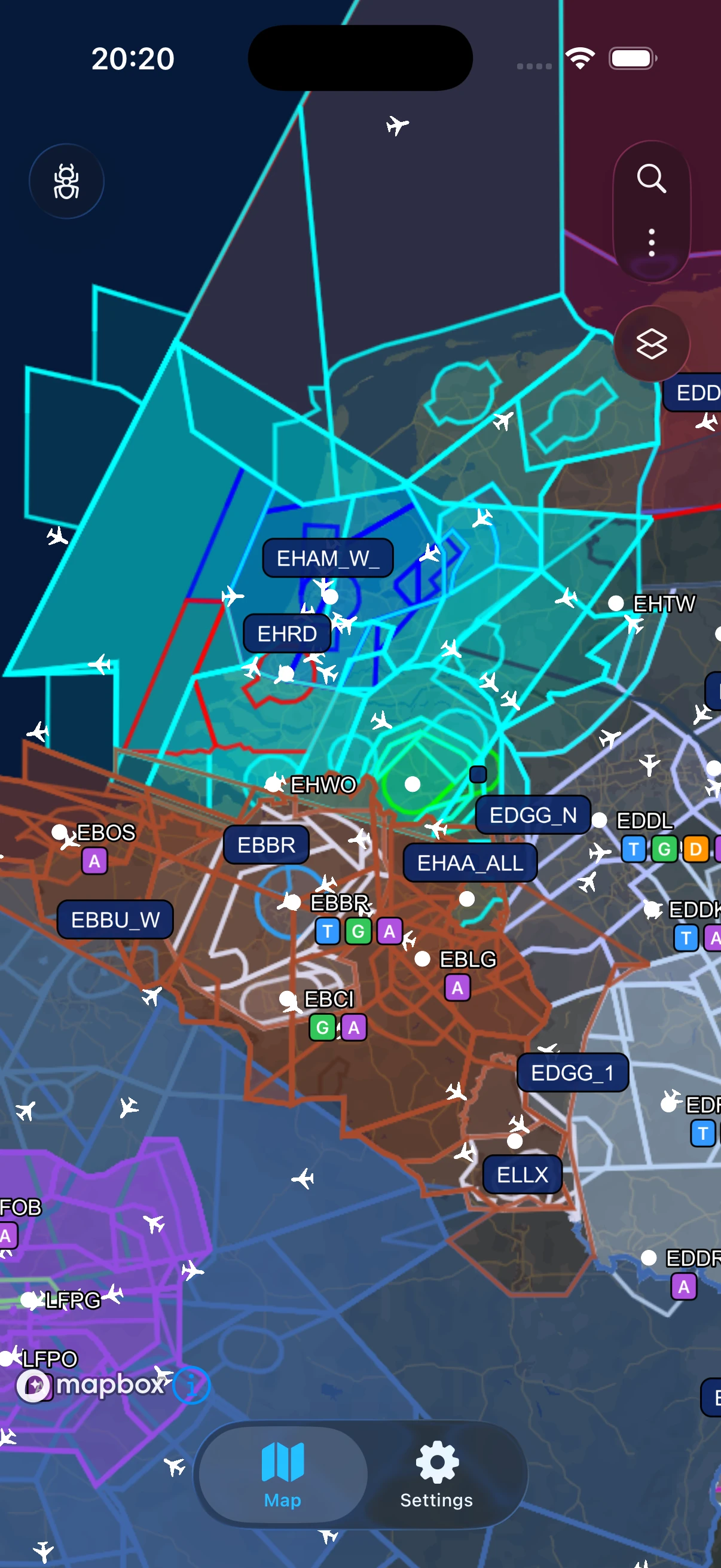
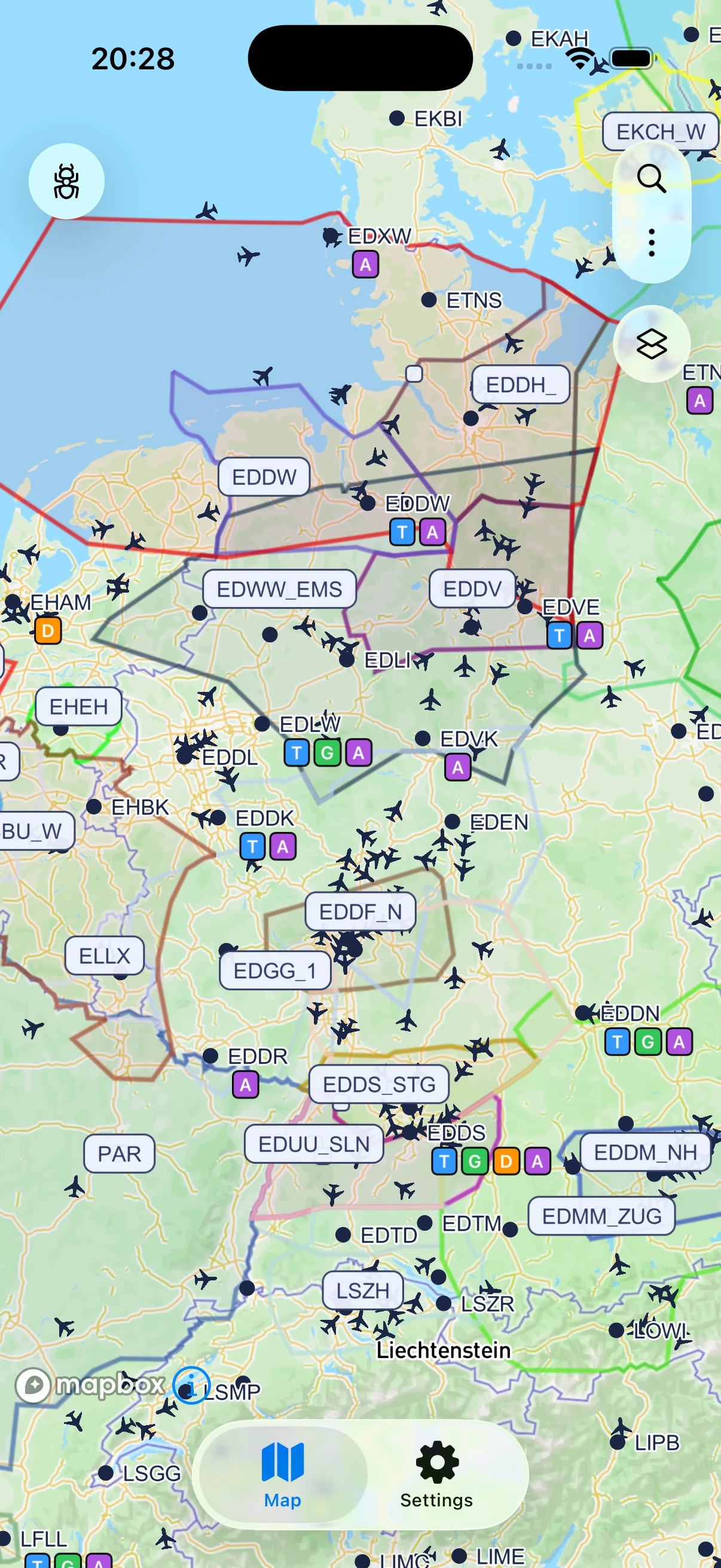
Every pilot and controller on the VATSIM network, updated in real time on a smooth, interactive map.
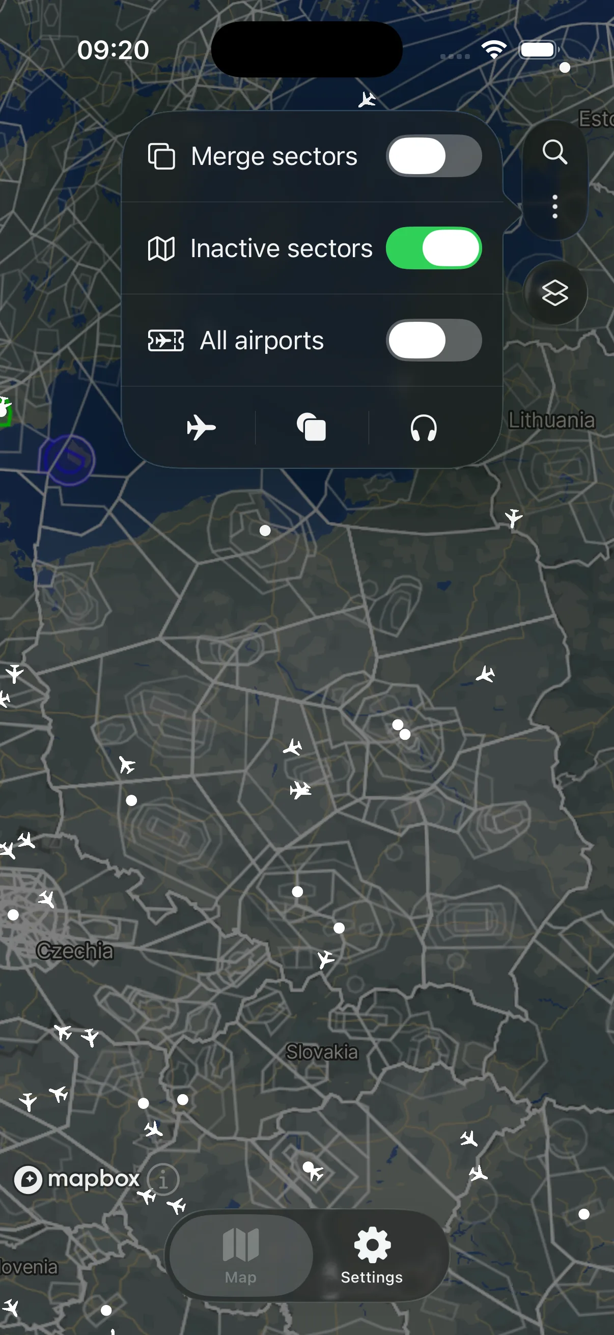
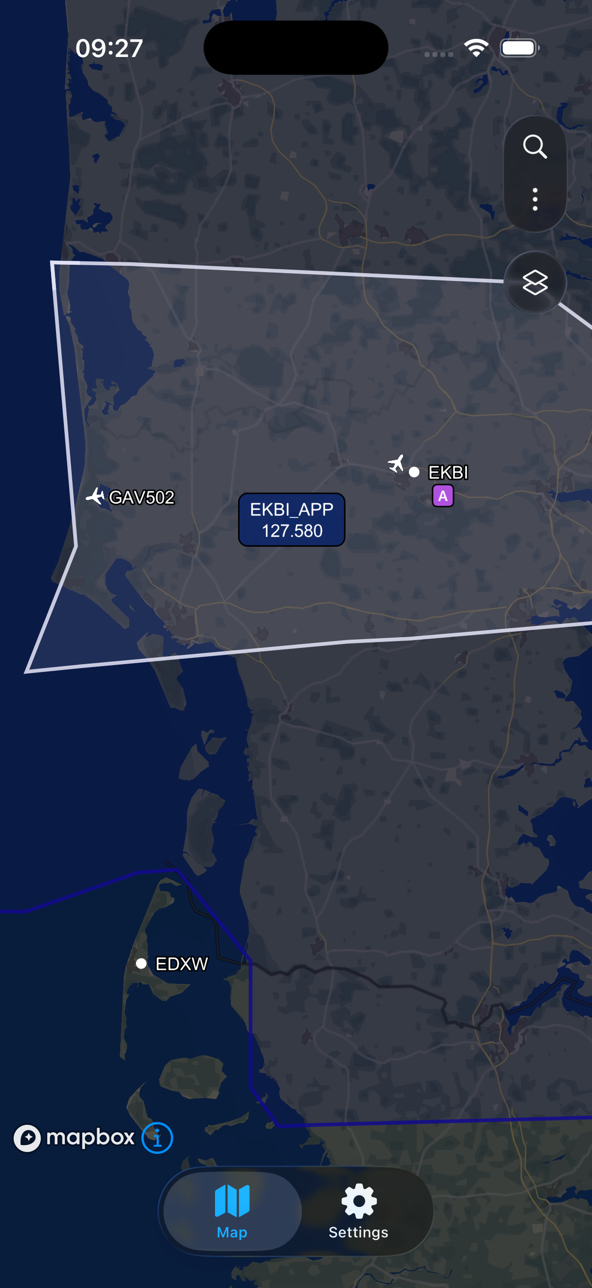
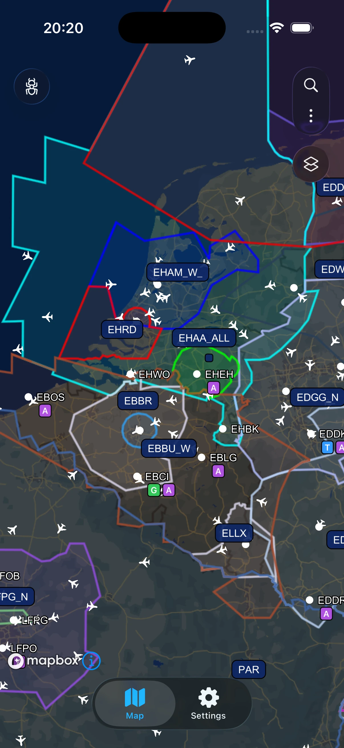
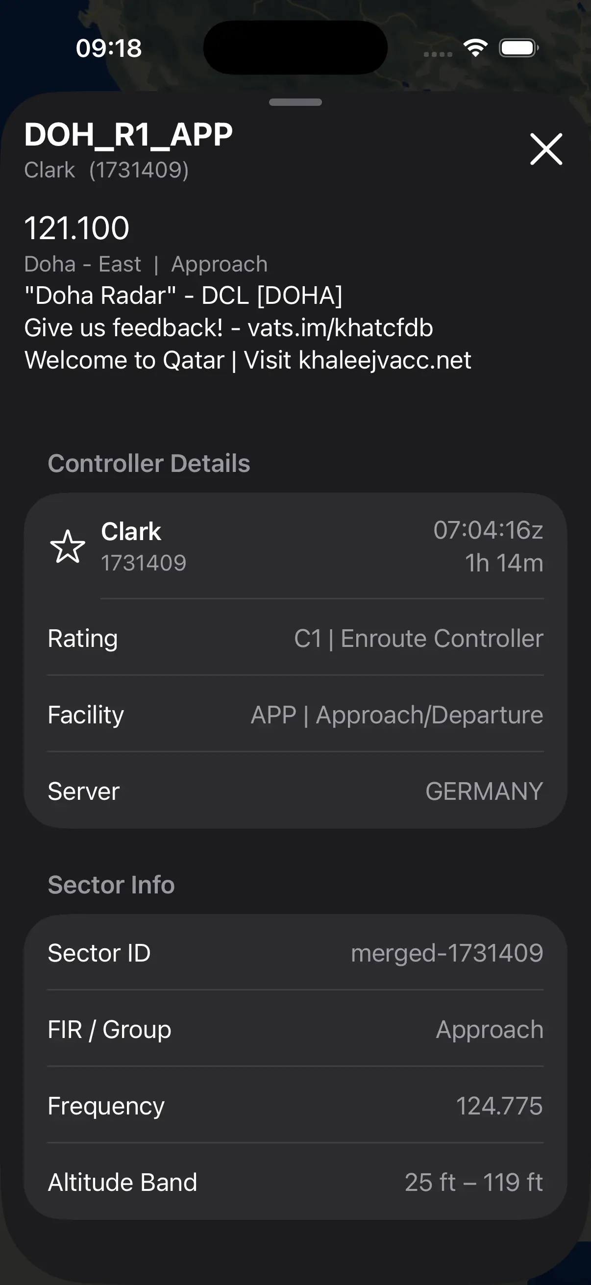
Live airspace boundaries powered by VATGlasses. Merge overlapping sectors and filter by altitude.
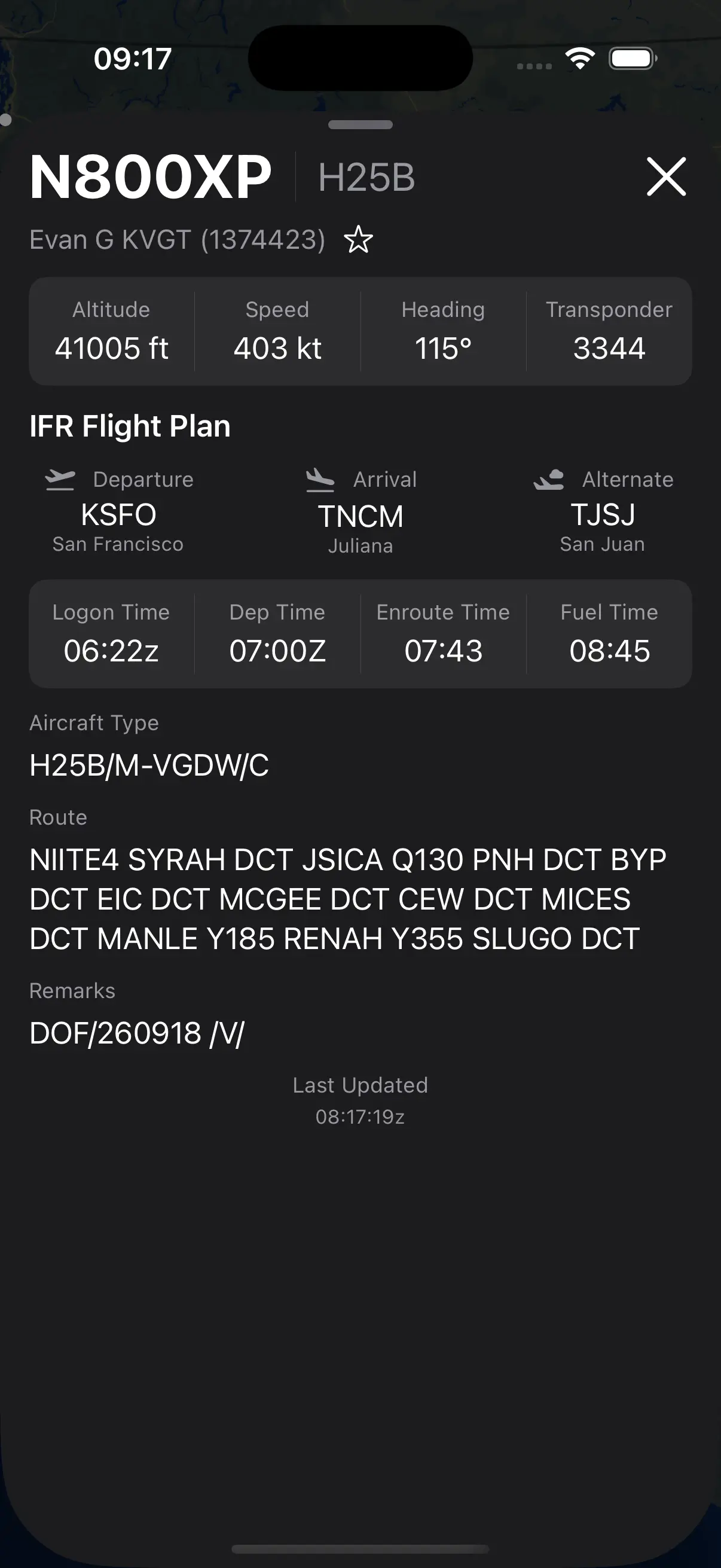
Tap any aircraft for altitude, speed, heading and transponder, plus the complete filed flight plan.
Jump straight to any callsign, airport or controller in seconds — no scrolling the map to find it.
Active controllers, current traffic and latest ATIS information at a glance for every airport on the network.
No accounts, no forced tracking. Ads only when you choose to support the project.
Dark mode, light mode, and full control over what the map shows you.
VatSight is source-available on GitHub from day one. Read the code, file an issue, or send a pull request — the whole app is built with the community watching.
Star on GitHubWhere VatSight has been, and where it's headed.
The first version of VatSight: a live Mapbox map with pilot icons, aircraft details, and the app's own branding.
VATGlasses airspace data, controller info, search, and a big pass on UI and airport data.
Search refinements, altitude filtering, a debug menu, and merged VATGlasses sectors.
Polished the UI, fixed bugs, and refined the details ready for VatSight's first public test.
The public TestFlight beta is open. Join the newsletter to get your invite, try VatSight and help shape it before launch.
Polish and refine features based on user input and community suggestions.
VatSight releases on the App Store — free to download, with every current feature included.
Better flight following, Navigraph integration, Visualise METAR / ATIS, Push Notifications
VatSight is built on public data from these open, community-run projects.
Live pilot and controller positions, flight plans, and ATIS text are pulled directly from the public VATSIM Data API. VatSight is not affiliated with or endorsed by VATSIM.
ATC sector boundaries are sourced from VATGlasses, an open, community-maintained airspace dataset kept accurate by vACC staff across the VATSIM network, via their public data repository. VatSight is not affiliated with or endorsed by VATGlasses.
Everything you might want to know about VatSight, VATSIM and VATGlasses on iPhone.
VatSight is a free, open-source VATSIM tracker and radar map app for iPhone. It shows live pilot and controller traffic, VATGlasses ATC sector boundaries, and airport activity on one clean map.
Yes. VatSight is a free VATSIM app for iOS that works as a live VATSIM tracker and map on your iPhone. Follow any pilot by callsign or CID, see which ATC positions are online with their VATGlasses sectors, and check activity at any airport. It's in open beta on TestFlight now.
Yes. VatSight is completely free, with no account required. Rewarded ads are entirely optional and off by default.
VATGlasses is an open, community-maintained dataset of VATSIM ATC sector boundaries. VatSight renders these VATGlasses sectors live on its map, with support for merging overlapping sectors and filtering by altitude.
No. VatSight reads publicly available VATSIM network data, so you can view live traffic and ATC sectors without logging in or creating an account.
No. VatSight is an independent, open-source project. It is not affiliated with or endorsed by VATSIM or VATGlasses, though it relies on their public data.
VatSight is now in open beta on TestFlight (v0.5), with a free App Store launch to follow once testing wraps up. Join the newsletter to get your TestFlight invite and hear about the App Store launch.
Sign up to the newsletter and confirm your email address. Your welcome email includes your TestFlight invite link straight away. Install Apple's free TestFlight app on your iPhone, open the link, and you're in.
VatSight 0.5 is now in open beta on TestFlight. Sign up to the newsletter, confirm your email, and your TestFlight invite arrives in your welcome email straight away. After that, we'll only email you about the App Store launch and major updates. A few emails a year, never spam.